
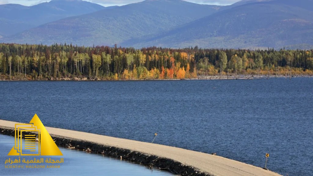

A Natural Phenomenon That Defies Maps
In the heart of Canada’s British Columbia province, specifically in a reservoir subject to close monitoring and updated survey maps, an unusual event took place that amazed residents and experts alike. A mysterious, tree-covered “island” suddenly appeared in the middle of the lake, only to vanish with the same mystery that attended its arrival, before appearing once more—turning it into a geological puzzle that breaks the rules of fixed topography.
The Secret of the Floating Forests
Scientists explain that what residents saw was not an island in the traditional geological sense (a continental rock mass), but rather the phenomenon of “floating forests” or moving plant islands. These phenomena form when massive blocks of soil, roots, and trees break away from the lake banks as a result of water level fluctuations or soil erosion caused by torrents, forming a floating platform that moves with water currents and wind.
Why Does It Disappear and Appear?
The instability shown by this island comes from the dynamics of the lake itself; energy companies managing the water reservoirs play a role in altering water levels to generate electricity. This change in water level sometimes leads the plant mass to settle in a shallow area (so the island appears), while rising water levels or underground currents push the mass away toward deeper areas, making it look as though it has disappeared underwater or vanished into the horizon.
Does It Pose a Threat?
Despite arousing curiosity, these floating islands may pose a challenge to navigational safety in waterways and vital facilities. Experts point out that this phenomenon is not globally unique, as similar cases are recorded in different regions, where nature works to reshape local geography in dynamic and unexpected ways—reminding us that our planet still holds many secrets that go beyond the limits of our fixed maps.
By: Hany Sallam
Source: smithsonianmag.com


Latest video
تابع معنا تحليل قراءة الصحف اليومية مع الكاتب الصحفي Hany Sallam عبر